Sent wirelessly from my BlackBerry. Envoyé sans fil par mon terminal mobile BlackBerry.
Dispatches from the trails of Peru, Bolivia, Chile, Argentina, USA, Canada and Germany. Where to next?
Monday, August 1, 2011
Church Point, NS
Sent wirelessly from my BlackBerry. Envoyé sans fil par mon terminal mobile BlackBerry.
Mavillette Beach (Nova Scotia)
I've never been in this part of Nova Scotia: old Acadia. We visited Grand Pre from which the deportation of Acadians began in 1755 - the Museum and grounds are really well done. We took in the Acadian festival parade in Church Point. Now we are back at high tide to the beautiful beach in Mavillette. Apparently there's a sandcastle building competition going on just a bit up on the beach. We'll walk by there shortly and see what wonders have been shaped out of sand and water. All in all a fine start to our 2-week vacation. Tomorrow we fly to St. Johns, NFLD
Sent wirelessly from my BlackBerry. Envoyé sans fil par mon terminal mobile BlackBerry.
Thursday, June 30, 2011
Yellowknife, Northwest Territories
At the end of May, I was invited to give a workshop in Yellowknife (Thank you, Storytellers of Canada). This would be my first time really north in Canada. And I would again enjoy endless daylight as we did 6 months ago in Patagonia at the other end of the Americas.
The sunlight lasted from 4 am to 11 am, but the few night hours never actually got dark. It's more like the sun was hiding just behind the horizon making for amazing skies.
I found the welcome by the conference organizers exceptional. (Ben was beyond gracious.) And the city, well it is different. Located 1,500 km north of Edmonton, Yellowknife is out there. Few roads exist in the NWT, so I stayed in town for an extra day and hiked around a couple of the many lakes, watched birds and enjoyed the amazing weather. Back country starts as soon as one leaves the built up city.
Would love to go to the Arctic Ocean next time ... more than another 1,200 km north ... and Nahanni for some hiking.
Monday, June 6, 2011
Chile volcano eruption pics
Dubbing itself "Probably the best (non-governmental) earthquake reporting site in the world" Earthquake-Report.com has assembled some of the most awe inspiring pictures as well as status updates on the weakening volcanic eruption.
Nature is a powerful thing. There's been quite a bit of seismic action in this part of Chile - happily none while we traveled in the area in December. I trust that Chileans will continue working together and make good choices to deal with the fall out from this eruption.
Sunday, June 5, 2011
Volcano eruption in Chile
Chile is situated on the Pacific Ring of Fire - the most seismically active region on Earth. Today, one of its many volcanoes erupted spewing smoke and gas up to 10 km high."End of the worlders" appear to relish in this occurance as another sign that the end is near.
I take it as a sign that Earth is alive and ever changing. And that it's good to pay attention when travelling as to where one is and what reasonable actions are to stay out of trouble. Chile's volcanoes don't present a huge threat to human activity, but when they erupt they create some challenges, in particular with ash and sulfur getting spread over large areas. The present eruption is the cause of a government evacuation order for about 3,500 people in the area.
English-language media has not updated its reports much it seems. I've tried to get a sense of the magnitude by looking at Chilean media.
The area affected appears to be just a bit north, maybe 100 km or so, of where we were travelling in last December near Puerto Montt/Cochamo. Click on the map to enlarge.
Chileans are a resilient people, who are accustomed to the big picture geographic challenges they live with. I hope and trust they will deal with this eruption by being smart and following the precautions to stay safe.
You might remember the huge 8.8 magnitude earthquake last February was a shock in particular as the tsunami that followed came without warning, which meant many people were caught off guard and had not gotten to the necessary higher ground. From what I've heard people now tend to self-evacuate when bigger earthquakes happen rather than wait to be told to seek higher ground. That is a good thing.
Knowing that many earthquakes have happened leading up to this eruption, might mean people were already alert to the possibility of a bigger issue.
I take it as a sign that Earth is alive and ever changing. And that it's good to pay attention when travelling as to where one is and what reasonable actions are to stay out of trouble. Chile's volcanoes don't present a huge threat to human activity, but when they erupt they create some challenges, in particular with ash and sulfur getting spread over large areas. The present eruption is the cause of a government evacuation order for about 3,500 people in the area.
| Black underlines = where we travelled last year. Red underlines - area being evacuated due to eruption. |
English-language media has not updated its reports much it seems. I've tried to get a sense of the magnitude by looking at Chilean media.
The area affected appears to be just a bit north, maybe 100 km or so, of where we were travelling in last December near Puerto Montt/Cochamo. Click on the map to enlarge.
Chileans are a resilient people, who are accustomed to the big picture geographic challenges they live with. I hope and trust they will deal with this eruption by being smart and following the precautions to stay safe.
You might remember the huge 8.8 magnitude earthquake last February was a shock in particular as the tsunami that followed came without warning, which meant many people were caught off guard and had not gotten to the necessary higher ground. From what I've heard people now tend to self-evacuate when bigger earthquakes happen rather than wait to be told to seek higher ground. That is a good thing.
Knowing that many earthquakes have happened leading up to this eruption, might mean people were already alert to the possibility of a bigger issue.
Sunday, May 15, 2011
Family pics from Germany
And here are some more great shots from our trip to Germany:
| One of Gitte's awesome dinner salads. Yum! |
| Gorgeous summer days during the Rheinsteig hike in April :) |
| Gitte and Laura looking awesome. |
| Study: Wilhelm, apple and emply ice cream vessel. |
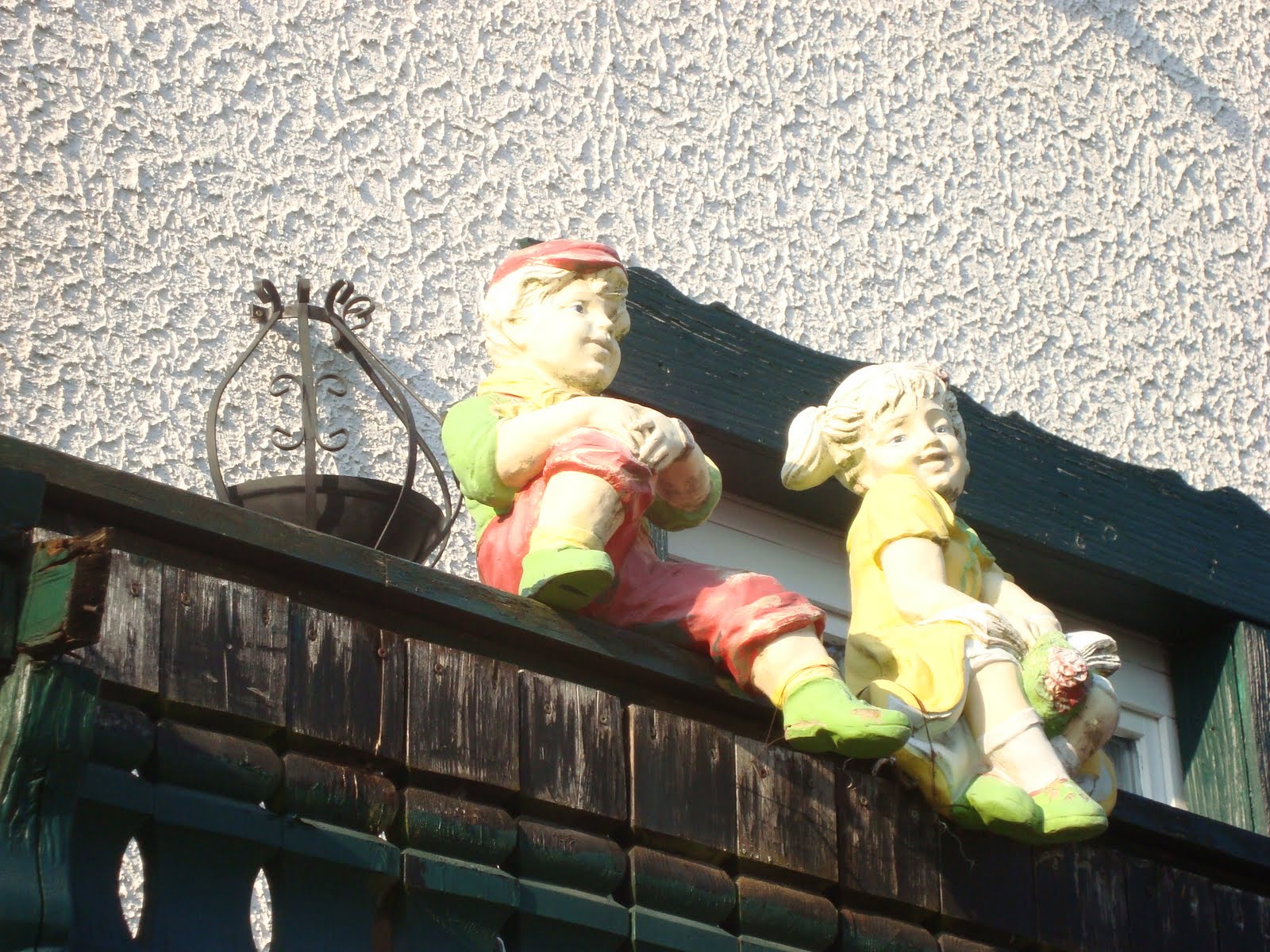
| Dwarfs - somewhat of a germanic obsession, possibly. |
| Sunset during our last evening in Germany. View from Inga's brother's family house. |
Wednesday, May 11, 2011
Impressions of Wiesbaden
For the record, a few other impressions from Wiesbaden and the Rheingau during our April trip.
| Jan at my fiend Wilhelm's place in Wiesbaden, |
| Playing on public art in Wiesbaden. |
| Billboard ads on HIV. |
| Lovely architectural detail in Wiesbaden. |
| Jan and Laura on urban shopping in Wiesbaden's pedestrian zone. |
| Sunday ice cream! Near Biebricher Schloss. |
Sunday, May 8, 2011
Rheinsteig - Dörscheid to Aulhausen (Day 3)
Day 2 ended in Dörscheid just outside of Kaub at this beautiful, high-end country retreat - Landgasthaus Blücher, run by the Fezt family.
Day 3 - started with a lovely buffet breakfast and some first aid treatment for blisters. While Jan and I had no difficulty whatever with the weather and the attendant challenges of keeping ones feet from blistering (blisters really are type of heat damage), Karl and Laura weren't so lucky.
Anyhow, I've never quite seen a blister as large as the one my brother sported on the ball of his foot. He decided to hike with Jan and I anyways, even as his wife and kids opted for a return home by train.
All six of us took off toward Kaub where 3 would catch the train and Karl, Jan and I would set out to hike - another 30+ km day with over 1,500 m in elevation change.
Day 3 - started with a lovely buffet breakfast and some first aid treatment for blisters. While Jan and I had no difficulty whatever with the weather and the attendant challenges of keeping ones feet from blistering (blisters really are type of heat damage), Karl and Laura weren't so lucky.
Anyhow, I've never quite seen a blister as large as the one my brother sported on the ball of his foot. He decided to hike with Jan and I anyways, even as his wife and kids opted for a return home by train.
All six of us took off toward Kaub where 3 would catch the train and Karl, Jan and I would set out to hike - another 30+ km day with over 1,500 m in elevation change.
| Jan in the vineyards above Kaub. |
| Customs house in the middle of the Rhine. Jan and I visited there in 2004 - it was fun. |
| Trail markers - my fav is the wine glass :) |
| Click to enlarge for full enjoyment. |
| Heading down to Lorch - Karl left us here, so Jan and I completed the final leg on our own. |
| Cigarettes are still available via vending machines. |
| Steep vineyards in the Rheingau. Heading toward Assmanshausen. |
| Evening light - with another couple of hours to go to Aulhausen, our final destination - and starting point. |
Friday, May 6, 2011
Rheinsteig - Kestert to Dörscheid (Day 2)
Day 2 - After a fine breakfast and making our lunches, 2 of our group of 6 took the train to St Goarshausen to pick up the trail there, while 4 of us embarked on this 2x normal day on foot. We covered over 2,000 m in elevation, over about 32 km. A big day by most standards. We ended it with a tasty dinner and great night at Landgasthaus Blücher in Dörscheid, just outside of Kaub.
| Military practice run. |
It so happens that my brother and his wife redesigned the interior of several of the guestrooms, so it was great to experience their work in action.
With the heat on - Germany basked in a very early heatwave with high summer temperatures every day - the hiking in among trees was a welcome brake. We still got our share of open vistas - and a most unusual bird - in the form of practicing fighter jets and military transporters that used the Rhine valley for training.
It was just like during the cold war - and I think it was quite a shock to Jan, who had never seen such a thing.
| Balcony art. It actually worked. |
| Sculpture along the trail. Some might have wished to get carried the last bit into Dörscheid:) |
| Laura, Karl and Jan hiking on. |
| Beautiful greenery everywhere and that in mid April! |
| Military transport dropping down into the Rhine Valley |
| Rhine is a very busy economic artery connecting Switzerland, France, Germany and Holland. |
| St Goarshausen - on top of this rock is a vertical Steig like they have in the Alps: fixed ladders, bolted to rock. |
| Castles around every bend in these parts. |
| The views of the meandering Rhine are all so pretty here. This from the famous Loreley. |
Wednesday, May 4, 2011
Rheinsteig - Braubach to Kestert (Day 1)
During our recent visit to Germany we spent about 92 km hiking along one of the most impressive parts of the Rheinsteig - a fully developed hiking trail that runs along the right side of the Rhine river.The route is divided up into 20 "normal" day hikes of about 15 km each and might see an elevation gain of about 700 or 800 m.
We combined 2 of these "normal"days each day to make for awesome hiking days instead; it was my brother's doing, knowing one could maybe take the train part of the way if needed, not ours:)
Day 1 - We left from Aulhausen by car and drove up with Braubach. That took just over 1 hour. Over the next 3 days we were to hike back through the awesome scenery this UNESCO world heritage site boasts. We covered about 29 km that first day and took about 7 hours of hiking time, plus a few breaks. It was a gorgeous day!
A few impressions from along the way on Day 1.
We combined 2 of these "normal"days each day to make for awesome hiking days instead; it was my brother's doing, knowing one could maybe take the train part of the way if needed, not ours:)
Day 1 - We left from Aulhausen by car and drove up with Braubach. That took just over 1 hour. Over the next 3 days we were to hike back through the awesome scenery this UNESCO world heritage site boasts. We covered about 29 km that first day and took about 7 hours of hiking time, plus a few breaks. It was a gorgeous day!
A few impressions from along the way on Day 1.
| The Rhine river just south of Braubach - one of many fine lookout points to admire the views. |
| My brother, Karl. He put the 3 days together for us and his family. |
| The hiker's party, chatting with a couple of "Rheinsteigers" |
| Laura, Ninja and Inga. |
| Above the Rhine the path goes by fields and woods. |
Subscribe to:
Posts (Atom)